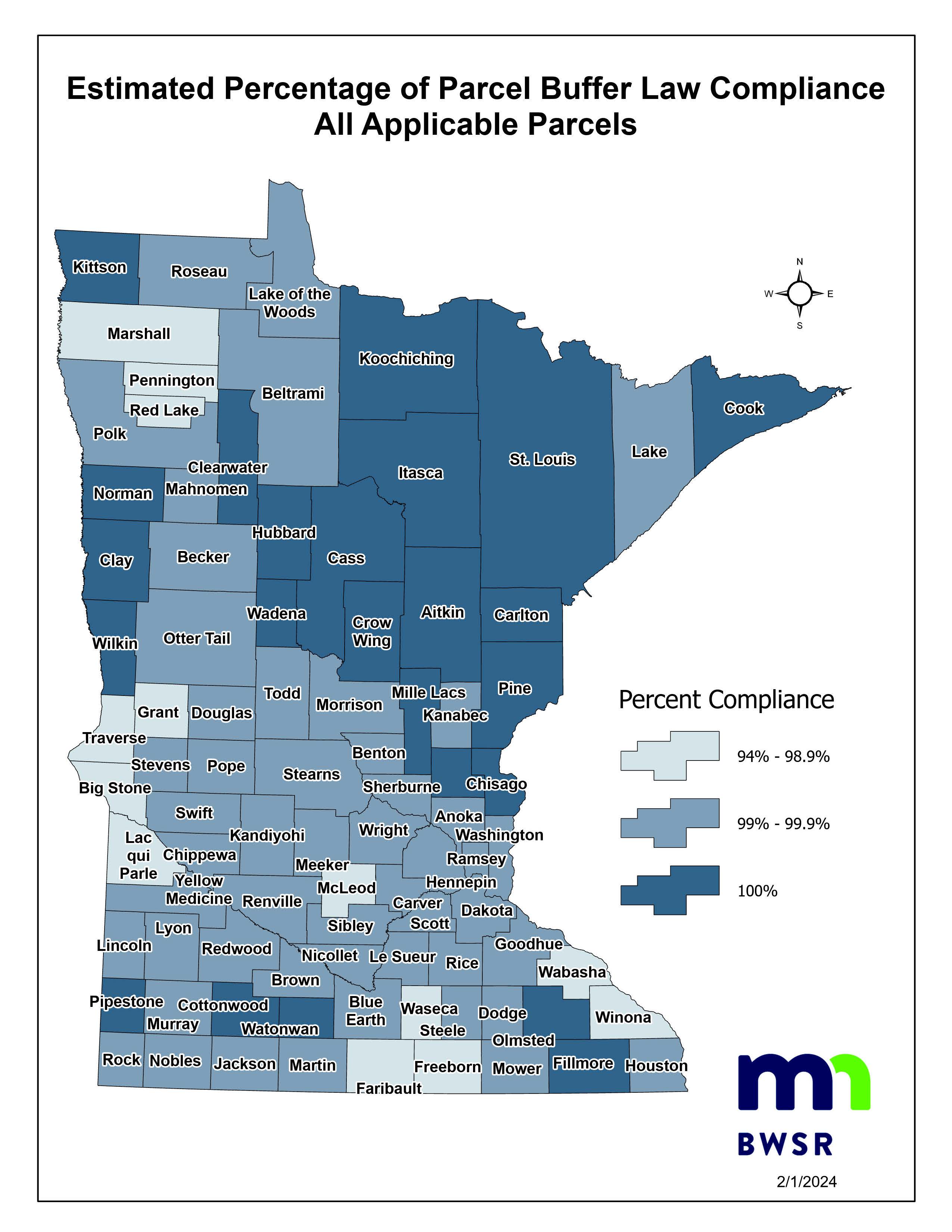
Buffer Compliance Rates

Buffer Maps
If you have a question or need to suggest a correction to a buffer map, please contact your local SWCD office. SWCDs are able to work directly with landowners on map issues. If the SWCDs, drainage authorities or other local governments identify errors in the map, they will notify the Department of Natural Resources and the DNR will make corrections where appropriate. If DNR does not agree with the suggested correction, you can request a second review. The review process will depend on the nature of the change being requested.
Buffer Map Viewing Application
*This map is intended to help users locate waters that require buffers, based on Minnesota's buffer law.
